- Homepage (this page)
- Tech Site
- Old Funny Site
CategoriesAdsSyndicate This Blog |
Janes Island State Park, MD, Sep 2011Friday, September 23. 2011
Jane's Island State Park looked appealing on Google Maps. That's really how I picked it. It's near water, and the surrounding area is thoroughly crisscrossed by water trails. That's what they call them over there - "water trails". I like water, and I like trails - great success.
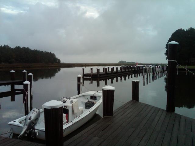
The drive from New Jersey is longer than you might expect - about half the trip is spent on less-than freeways - ranging in speeds from 35 mph all the way to 65, littered with occasional traffic lights that can change suddenly - something that you probably could do without when driving 12,000 pounds. Yet that is the only way to get there, so we deal and persevere, and are glad we did. The park itself is hidden behind sparsely populated lands, making it even quieter than it already is. The staff is remarkably forthcoming and friendly. The campground has three loops, each offering some water-front spots, though not all have electricity (and none have anything more). The sites are situated between sizable trees, mostly pines, giving the site pads (and the roof of your RV) a pleasant pine-needle feel. These sites overlook a narrow channel that leads to the Chesapeake Bay by way of a maze of water trails, or, if you prefer - in a more direct way.  Marina Although you can approach the water directly from the camping loops, the drop to the water from the reinforced pier is considerable - and is probably not ideal for launching anything. The "No Docking" signs seems to concur. The tide is quite significant here, a 2-3 foot variation is observed daily, so you probably wouldn't want to moor anything so casually anyway. Fortunately, there is a beautiful marina, offering proper mooring, floating docks, and a no-charge kayak/canoe launch (the trailer ramp is not free). The Marina is situated at the intersection of 2 channels (see map link below), offering you the option of traveling East, North, or South.
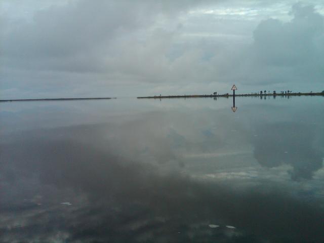
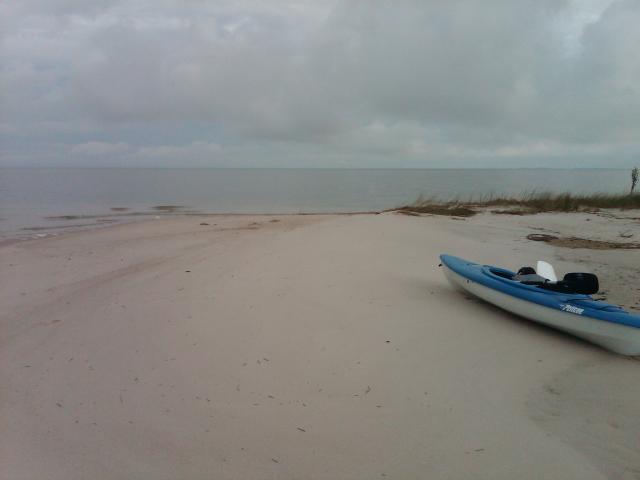
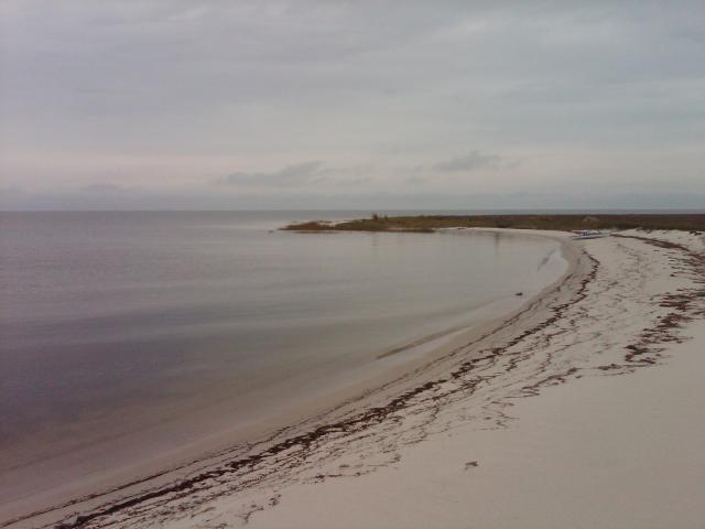
Water TrailingOn Saturday, I spent about 6.5 hours out with my kayak - first at Tangier Sound, then paddling around the islands and onto Mine Cove - and finally returning via the northern channel. Here is a Google Map I made that outlines the trip. Interestingly, while Google Maps shows a considerable body of land (see the map link) at Tangier Sound that separates the trails from the open Bay, at high tide this land strip is entirely under water, allowing sufficient clearance for most kayaks to exit unobstructed (which is what I did). There were light waves out in the Bay, but in the trails the water was so still (at 8am) that you could lose your orientation between sky and water if you stared exactly into the dividing line (a rather fun experience).  Reflections I stopped briefly for breakfast (I actually packed for this trip!) at Tangier Sound (at least that is what the sign says), and took a 1 mile walk along the beach, watching the fishermen visit their traps near the shore. The Bay is thoroughly littered with trap floats in various distinct color schemes, bobbing complacently in the shallow waves almost as if they are trying to underscore their agreement with inevitability of life as a float.  Tangier Sound There were no humans to be seen on any of the islands i visited once the fishing boat left, and other than the occasional sound of a distant motorboat I heard nothing that I wouldn't expect to hear in this place a million years earlier. After some time I mustered up enough resolve to paddle to the distant shores that turned out to be Mine Cove. It was a bit tough for my untrained stamina, but it was a nice place where I got to relax and stare at the clouds. After some time it began to drizzle for the first time today and I took that as a suggestion to move on.  Mine Cove My return trip was long but uneventful. The Northern channel is home to a few water-front homes - some lavish, with small boats and others small with lavish boats. I wonder what life is like in a place like that - and even whether people actually live there or just keep these around as vacation homes. Land TrailingSeveral trails originate within the campground, and we made it at least 1/4 mile into one of them before an extended family of mosquitoes with a supporting cast of their gnat allies made the thoroughly soaked and now murky and damp forest come off our TODO list with surprising speed. No amount of bug repellent was useful or practical against an environment so thoroughly owned by our winged opponents, and we accepted defeat and began our retreat when we started to notice giant spider webs with peach-sized predators placed squarely in the middle. I consider myself a supporter of spiders for very practical reasons, but here I found that I'd rather allow them full ownership of their habitat and would not wait for them to sanitize the forest for my walking pleasure. I found the water experiences alone worth a return trip to this park, but if the weather is a bit less rainy, then perhaps some land adventures would also become possible. Observing people boating to the more distant islands (not to mention real kayakers returning from camping trips) made me seriously consider a motorboat for the first time ... ever. An inflatable, perhaps. As much as I dislike motor noise, it does open up new possibilities - and a sail kit is always an option. Trackbacks
Trackback specific URI for this entry
'Coffee Bar' design by David Cummins powered by Serendipity |
